Hiking Around Mt Fuji with Mountain Trek

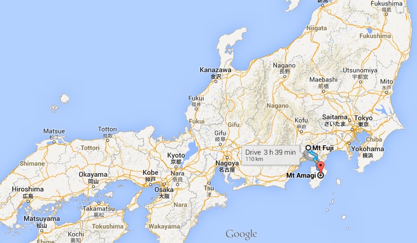
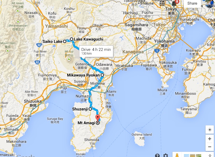
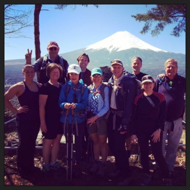
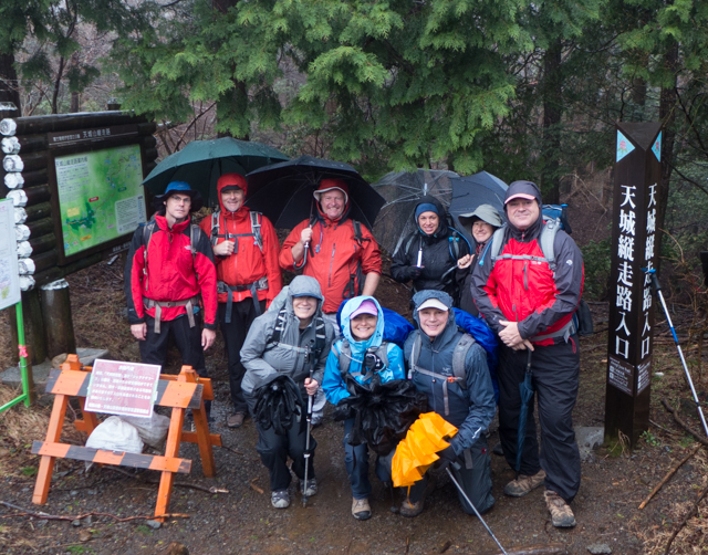
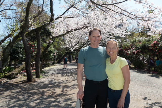
We’ve spent the past week in the company of 6 other intrepid trekkers hiking around Mt Fuji with Mountain Trek guides Ted Taylor and Kirkland Shave. Mountain Trek is a hiking and health spa retreat just outside of Nelson, British Columbia where we’ve enjoyed some fantastic hiking in the past. Each year, Mountain Trek leads an international adventure trek. This year’s trek dovetailed nicely with the rest of our Asia adventure, so we joined in.

Our general hiking area in relation to Japan. Note Fukushima (site of 2011 nuclear disaster) in upper right; Hiroshima in lower left.

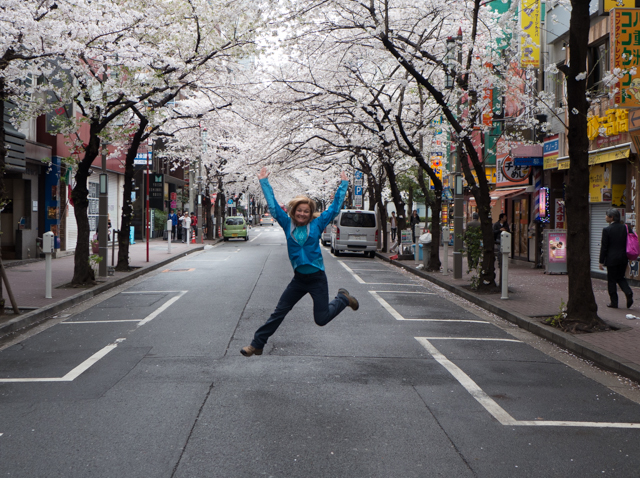
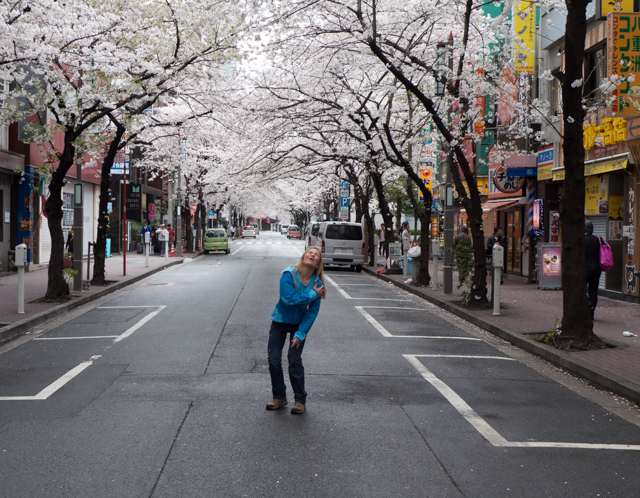
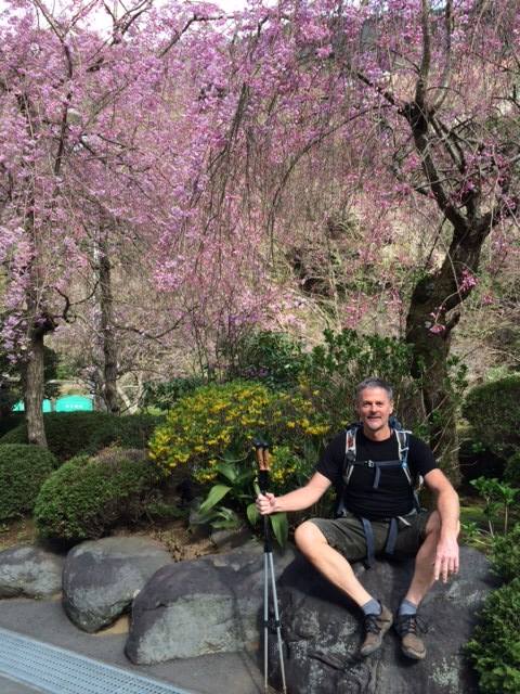
The trek was timed specifically for the best chance of seeing the Sakura (cherry blossoms) and wow, did they get it right! We have experienced Sakura at their peak everywhere we traveled.

Jumping for joy on Cherry Blossom Lane.
Remembering my partially dislocated shoulder isn't healed.
Remembering my partially dislocated shoulder isn’t healed.

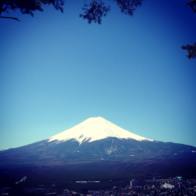
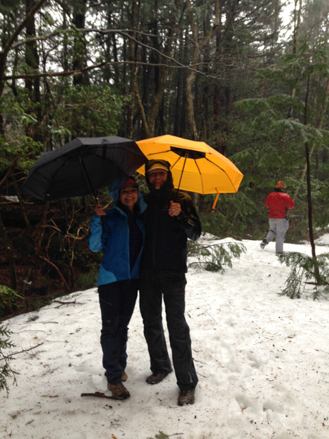
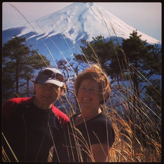
The trek was also timed to see Mt Fuji in its snow-covered glory, and again, mission accomplished. Summer hiking would have meant greener landscapes in the forests and on the hills, but to see Mt Fuji fully snow-capped has been a special treat.


One of our first views of Mt. Fuji on our second day of hiking.  Magnificent.
One of our first views of Mt. Fuji on our second day of hiking. Magnificent.
Most of our hiking was at various points along the blue route. See Mt Fuji just below the lakes. Mt Amagi is on the Izu Peninsula.


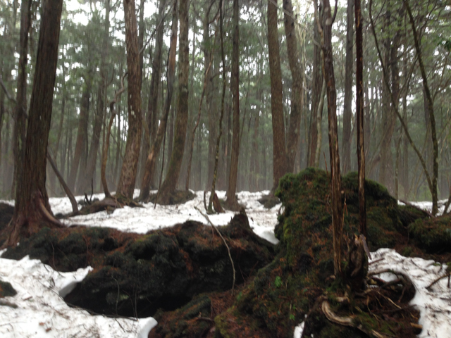
Things didn’t get off to quite that sunny of a start, however. Our first day of hiking was in the atmospheric and mysterious Aokigahara forest, and Amaterasu, the sun goddess, had called in sick.

Our group....ready to brave the rain on our initial hike.  And this was supposed to be the easy day!
Our group….ready to brave the rain on our initial hike. And this was supposed to be the easy day!


First time that we've ever hiked with umbrellas.  They worked quite well.
First time that we’ve ever hiked with umbrellas. They worked quite well.

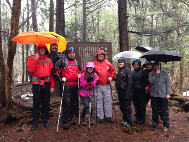
In 864, Mt Fuji erupted and the primeval forest that grew over the rocky landscape of ancient lava flows was named “Sea of Trees” because it’s green all year round and looks like an ocean. The wind-blocking density of the trees and the scarcity of wildlife make for a lush, but eerily quiet forest that has also gained a reputation as “The Suicide Forest”. It is said that there are at least 100 suicides there per year in the remote areas of the vast expanse of dense woodlands, but luckily we saw no evidence of what may, or may not, be urban legend.

We were hiking in what is known as the Sea of Trees aka the Suicide Forest.  It would have been quite easy to get lost.
Ancient lava tubes sprout trees, rocks, caves and ground cover.
Trail marker "Grace & Happiness"; much more pleasant than the forest's urban legend
Trail marker “Grace & Happiness”; much more pleasant than the forest’s urban legend

Day 2 dawned clear and bright; perfect timing for our hike above Lake Kawaguchi and picturesque views of Mt Fuji. Mount Fuji (富士山, Fujisan) is Japan’s highest mountain at 3,776 meters. It is not surprising that the nearly perfectly shaped volcano has been worshiped as a sacred mountain.

Guardian of Mt Fuji
Guardian of Mt Fuji

Mt Fuji is an active volcano, which most recently erupted in 1708. The only rumblings we heard (luckily?) were detonations from nearby military exercises.

Mountain Trek hikers score perfect views of Mt Fuji


The lovely Gina and Luba in the shadow of Mt Fuji

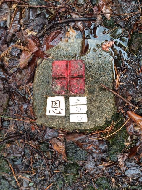
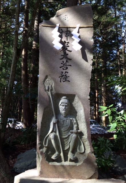
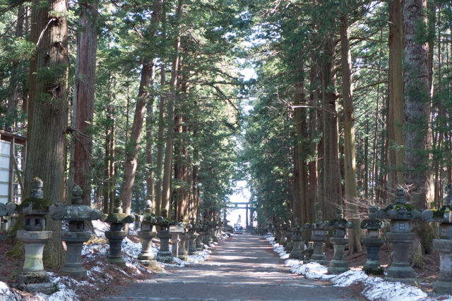
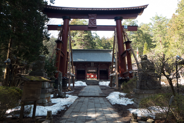
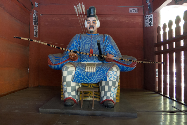
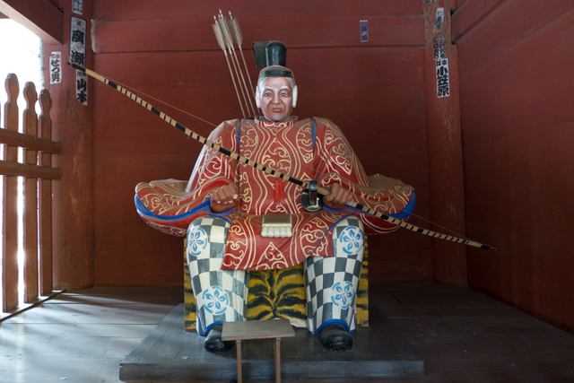
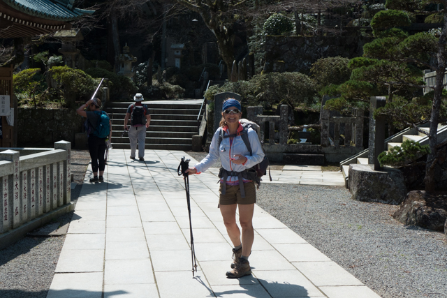
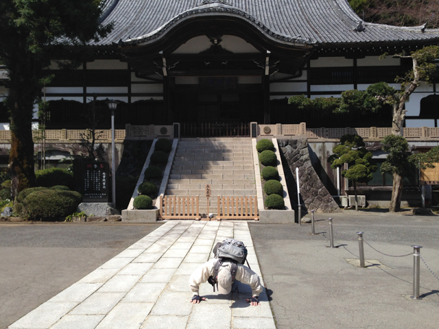
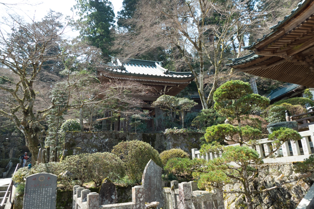
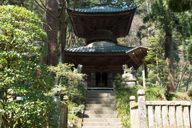
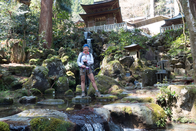
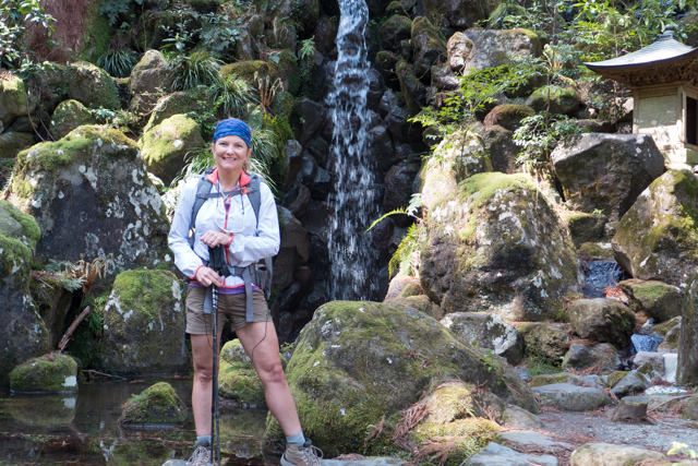
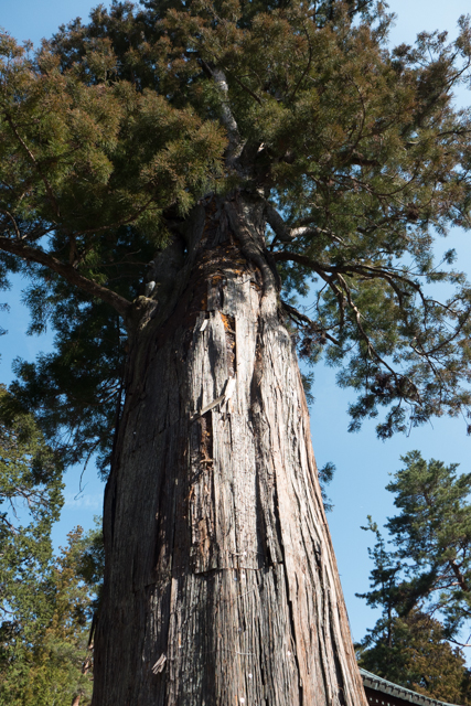
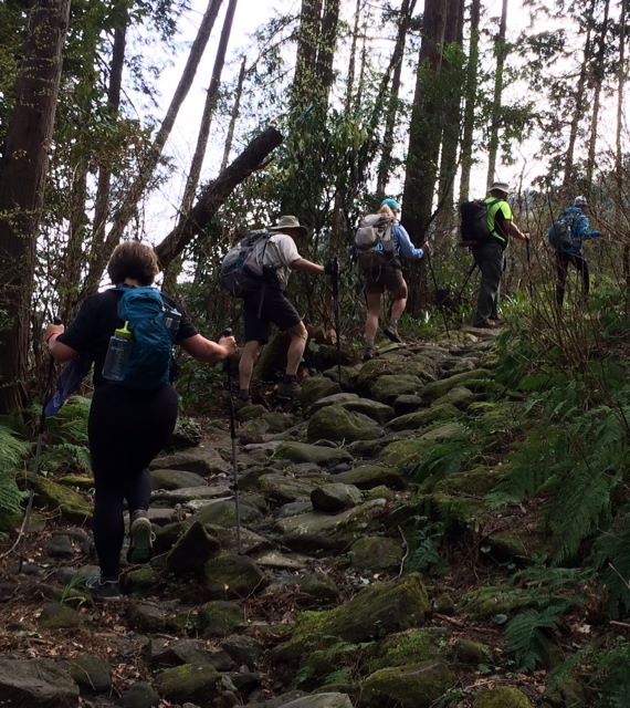
Our third day started with beautiful temples and shrines set in soaring cedars at the beginning of our Myojin-ga-take hike.

Walkway to Fuji Sengen Jinja Shrine.
Shinto gate
Shinto gate
Guards of the shrine


Guards of the shrine
Entering the shrine grounds
Mark bowing at one of the shrines.  Uh oh...... he is facing the wrong way.
Mark bowing at one of the shrines. Uh oh…… he is facing the wrong way.


Stunning setting
Stunning setting
Stunning setting
Peaceful surroundings
Ancient buildings set among ancient trees, rocks and waterfalls.


Loving the grandeur of teh surroundings
Loving the grandeur of the surroundings


Soaring cedar trees abound
Hiking Myojin-ga-take

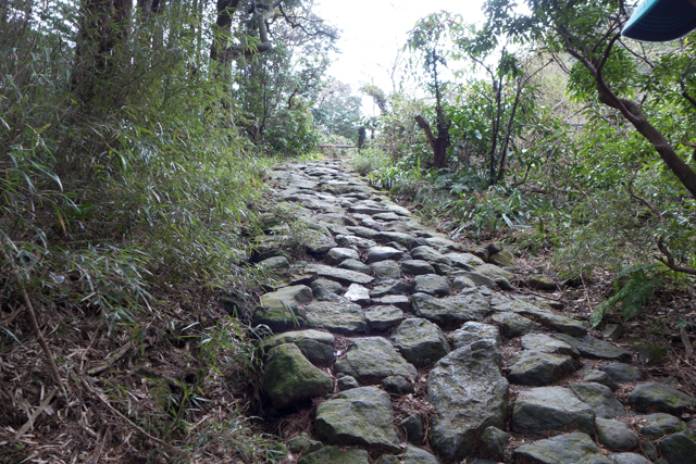
The next day, we walked along the Tōkaidō (東海道 East Sea Road). The Tōkaidō was the most important of the five historical routes connecting Edo (modern-day Tokyo) to Kyoto. Unlike the inland, mountainous and thus less heavily travelled Nakasendō, the Tōkaidō travelled along the sea coast, hence the route’s name. I’ll be doing a post soon about the history of this Edo Period but for now, here we are, walking in the footsteps of the famous daimyo  – the feudal lords of the Shogun era.

Along the Tokaido Road.
Day 4 Tokaido (Shogun) Road
Day 4 Kirk with Sakura
Day 4 Climbing to the Pass

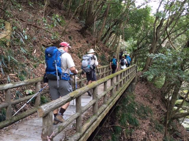
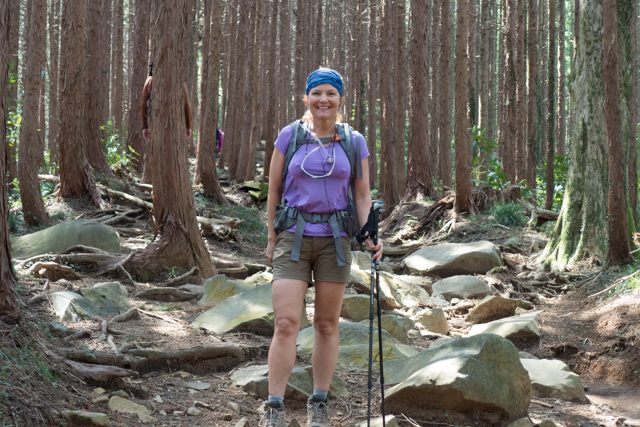
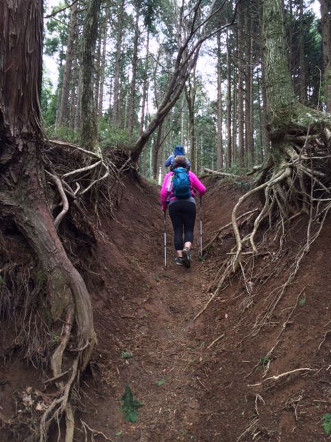
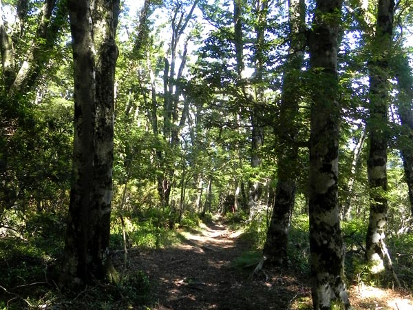
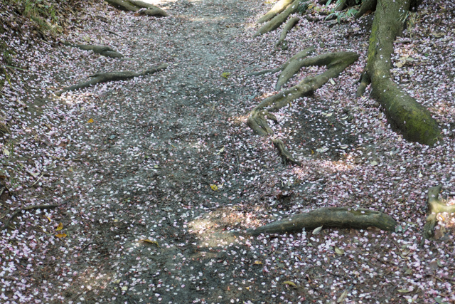
Our last full day of hiking dawned cool and rainy again, and it was a doozy of a hike (almost 10 miles,  a couple thousand feet of elevation, slippery rocks, roots and mud). But the spectacular Japanese beech trees in the second half of the hike were more than enough reward for our hard work. The power of nature was palpable in this magnificent forest.

The trailhead of our last day of hiking - 10 miles and 2,000 feet total elevation in a stream bed .  Not too strenuous, except it rained incessantly and the trail was muddy and slippery and full of tree roots.  Glad to finish that one.
The trailhead of our last day of hiking – 10 miles and 2,000 feet total elevation in a stream bed . Not too strenuous, except it rained incessantly and the trail was muddy and slippery and full of tree roots. Glad to finish that one.

Day 3 Up 2500 feet

Hiking along the Amagi Traverse


Japanese beech forest

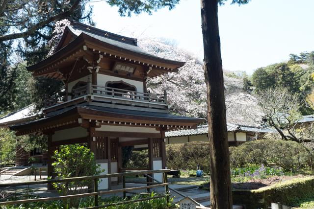
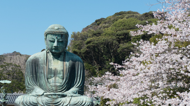
We ended our trek in the famous ancient capital of Kamakura. Kamakura (鎌倉) is a coastal town, less than an hour south of Tokyo. It became the political center of Japan under the Minamoto shogun in 1192. Today, it is a small popular tourist city due to its numerous temples, shrines and of course, the Giant Buddha.

This shrine is within 30 acres of spectacularly beautiful nature park in Kamakura.
Tsurugaoka Hachiman-gū, a Shinto shrine in the center of the Kamakura.
Trail mottled by cherry blossoms after a rain.
At at height of about 50 feet, the Great Buddha of Kamakura is the second tallest bronze Buddha statue in Japan.  The statue was cast in 1252 and originally located inside a large temple hall. However, the temple buildings were destroyed multiple times by typhoons and tidal waves, so 1495, the Buddha has been standing in the open air.
At at height of about 50 feet, the Great Buddha of Kamakura is the second tallest bronze Buddha statue in Japan. The statue was cast in 1252 and originally located inside a large temple hall. However, the temple buildings were destroyed multiple times by typhoons and tidal waves, so since 1495, the Buddha has been standing in the open air.


1 thought on “Hiking Around Mt Fuji with Mountain Trek”

Leave a Comment